RING
GUIDE.
Everything worth knowing around the legendary Eifel racing circuit, on one map. Hand-picked places, the best driving roads, and a map you can download before you travel, so it still draws when the signal doesn't.
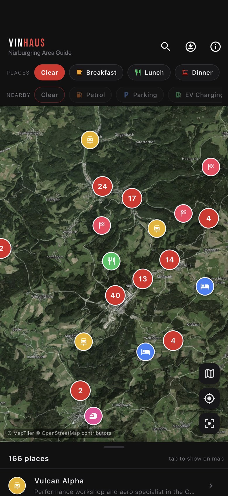
across 18 categories
drawn on the map
written for first-timers
viewpoints & more
Built for
the trip.
Not a scraped directory. Every place is picked, described and pinned by hand, then wrapped in the things you actually need at 07:00 with a full car park and no phone signal.
Three taps
to sorted.
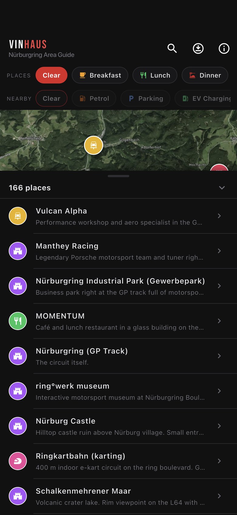
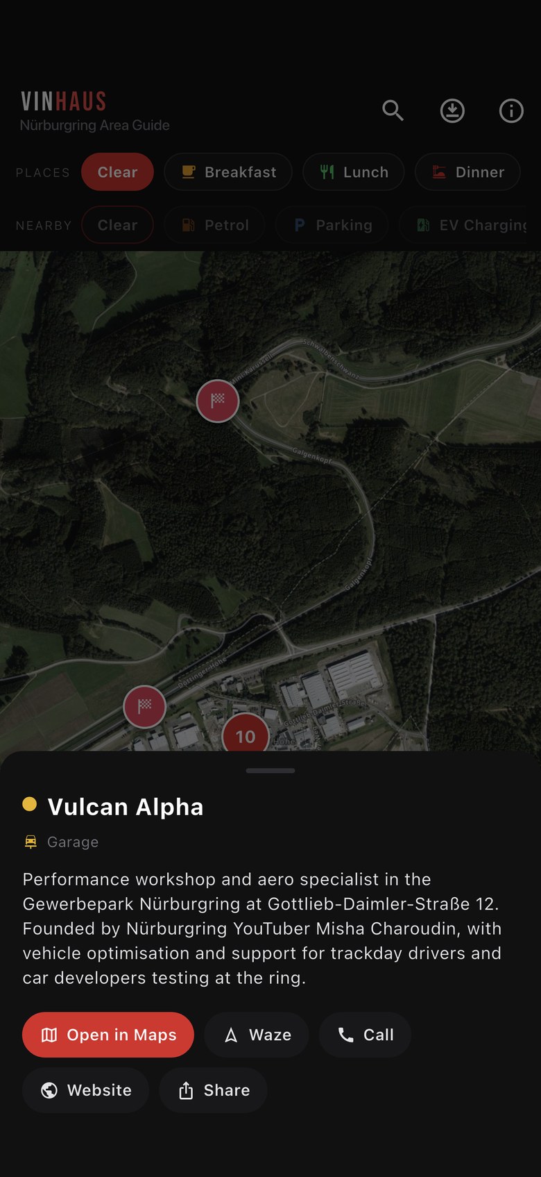
Open the map, filter to what you're after, tap through to see what it is.
Where the
signal ends.
The Eifel is beautiful and the coverage is not. Download the region before you leave and the map still draws in a valley with one bar. Worth being straight about where that stops, though: Ring Guide shows you where everything is, it isn't a sat nav.
- Works with no signalThe map, every pin and description, the drive lines and the trip info. It's all on your phone.
- Needs a signalOpen in Maps, Waze, websites, TripAdvisor and booking links. They hand off to other apps.
- There's no navigation in the app. Getting there is your usual maps app, or the old-fashioned way.
- Roughly 20 MB a layer, satellite or street, downloaded over Wi-Fi in a couple of minutes. Clear it any time.
Every category in the app, with the number of places in each.
Three steps.
Do this on the sofa, not in a lay-by outside Adenau.
FAQ
Get it
free.
166 places, 17 drives and a map you can take out of signal.